
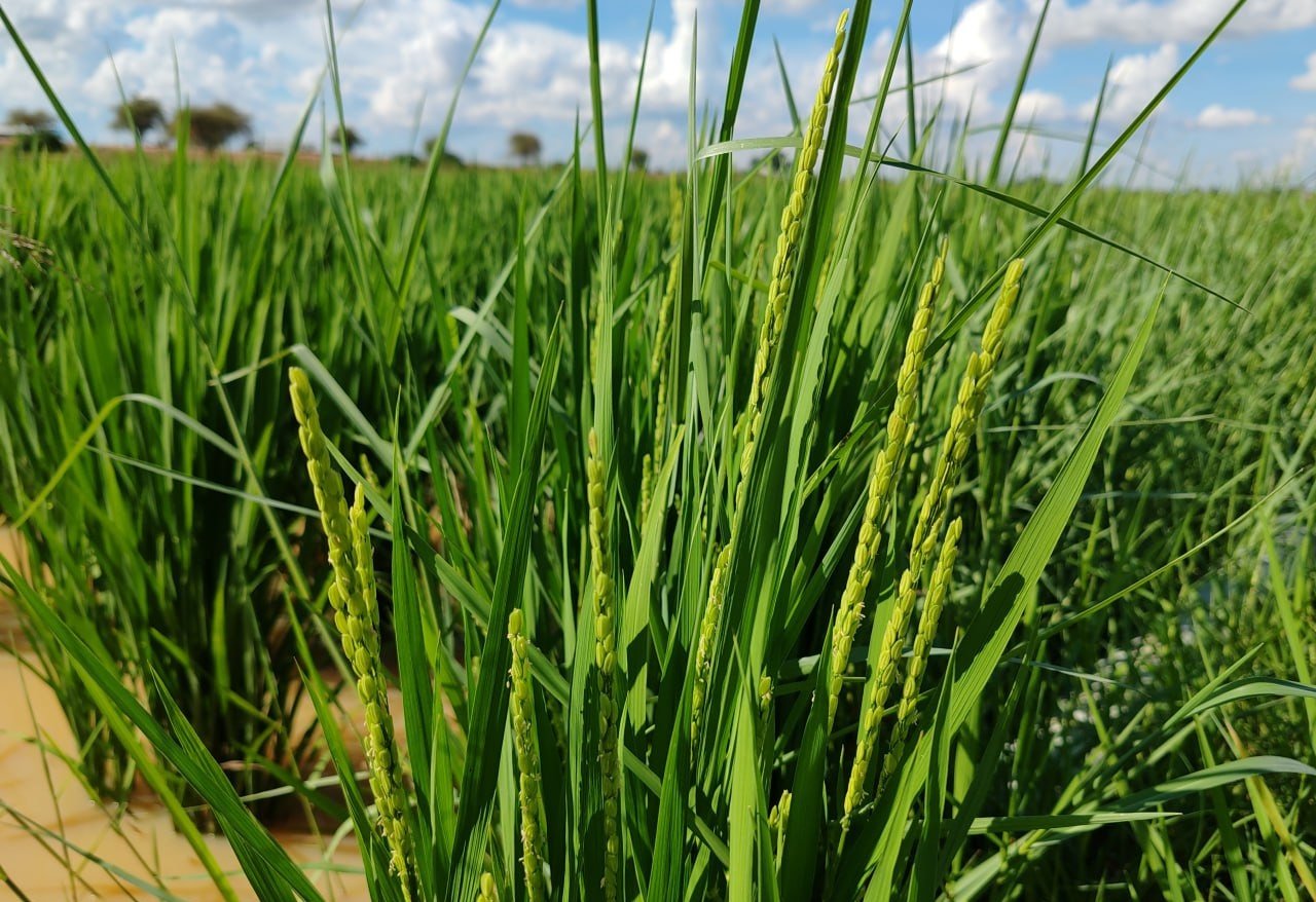
Digitised Alternate Wetting & Drying programmes from farmer onboarding and plot mapping to pipe installation and water-level tracking.
We digitise Alternate Wetting & Drying programmes end-to-end, from farmer onboarding and plot mapping to pipe installation and water-level tracking, with GPS-verified evidence at every stage.
Paper-based AWD rice monitoring is slow, difficult to scale and prone to missing or inaccurate records, making it harder to verify water management practices and methane-reduction claims.
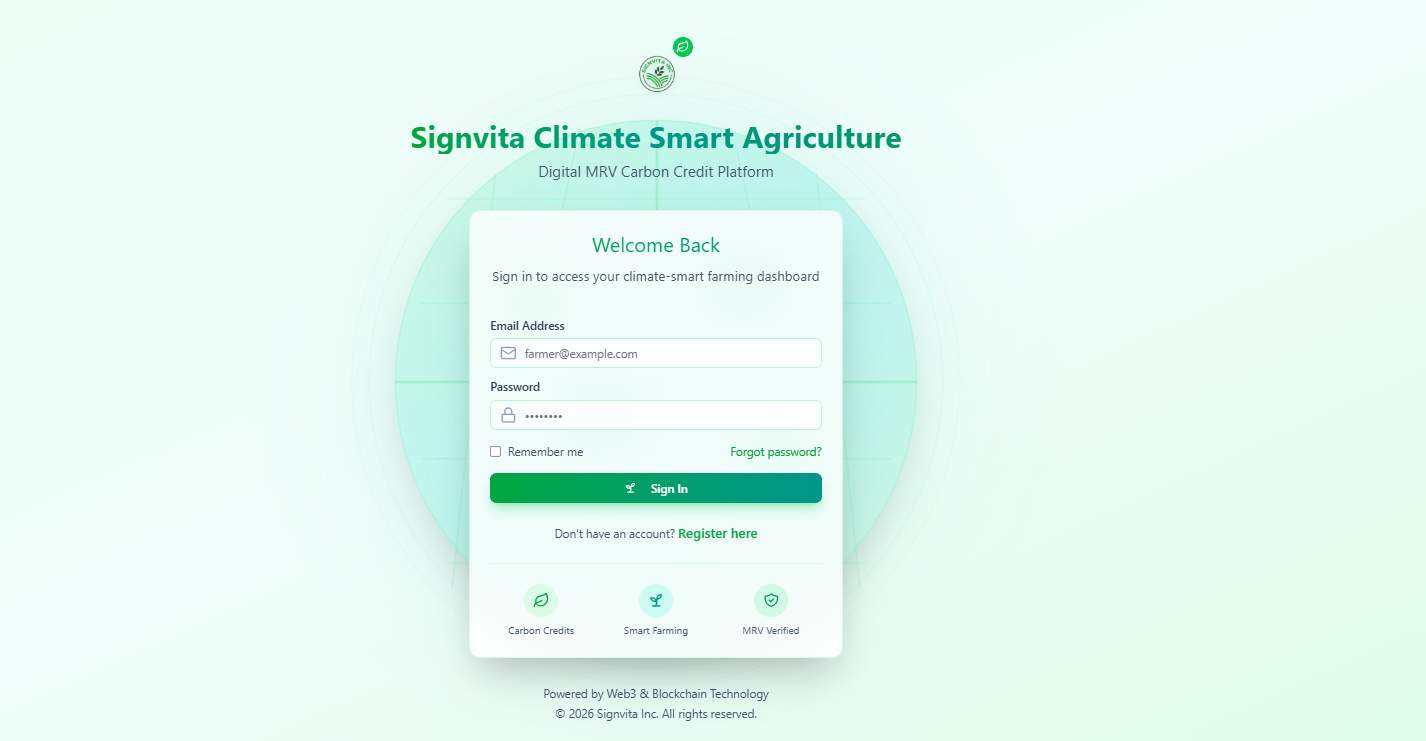
A complete field-to-lab dMRV workflow for regenerative agriculture programmes, built for the VM0042 model-plus-measurement approach.
Learn more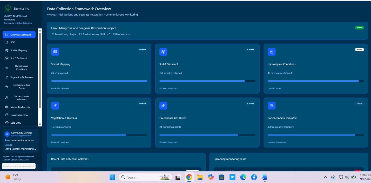
Manage blue carbon and mangrove restoration projects with GPS tidal-zone mapping, survival monitoring and biomass data aligned with VM0033.
Learn more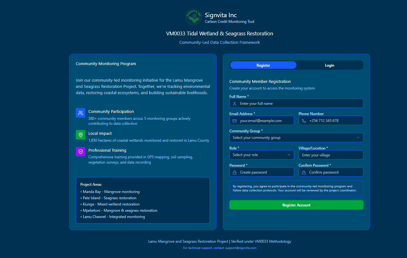
Run REDD+ projects with GPS boundary mapping, digital patrols, threat monitoring and benefit-sharing records aligned with VM0007 and VM0015.
Learn more