
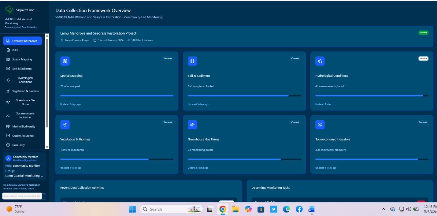
Manage blue carbon and mangrove restoration projects with GPS tidal-zone mapping, survival monitoring and biomass data aligned with VM0033.
Manage blue carbon and mangrove restoration projects with GPS-based tidal-zone mapping, planting and survival monitoring, and biomass data collection aligned with VM0033 coastal wetland requirements. A purpose-built dMRV platform for mangrove restoration, combining GPS mapping, field monitoring, biomass sampling and carbon data management to support accurate reporting and verification.
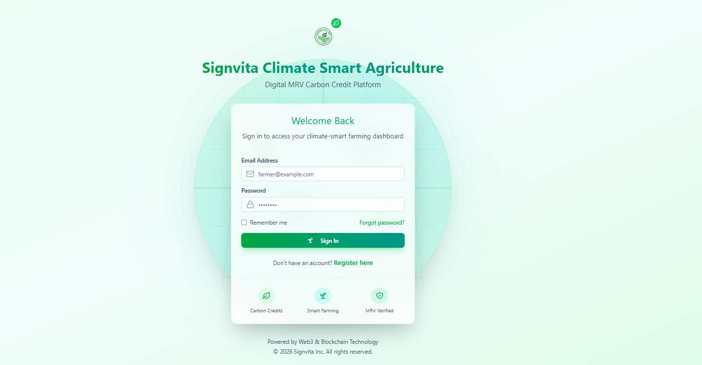
A complete field-to-lab dMRV workflow for regenerative agriculture programmes, built for the VM0042 model-plus-measurement approach.
Learn more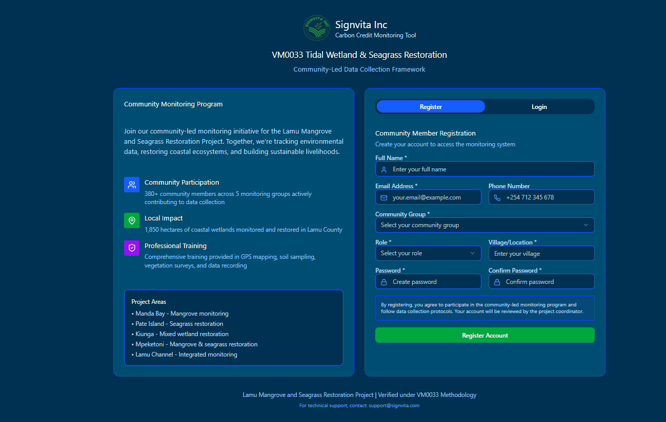
Run REDD+ projects with GPS boundary mapping, digital patrols, threat monitoring and benefit-sharing records aligned with VM0007 and VM0015.
Learn more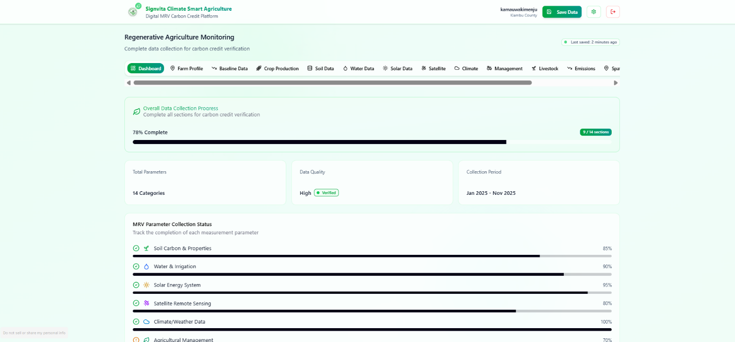
ARR programmes delivered with geotagged planting records, monitoring plots, survival tracking and satellite-verified, audit-ready evidence.
Learn more