
Pre-loader

REDD+ Forest Conservation


REDD+ Forest Conservation

Run REDD+ projects with GPS boundary mapping, digital patrols, threat monitoring and benefit-sharing records aligned with VM0007 and VM0015.

dMRV software for forest conservation projects

Manage REDD+ forest conservation projects with GPS boundary mapping, forest patrol tracking, threat monitoring, community benefit records and deforestation evidence aligned with VM0007 and VM0015. Our technology-driven REDD+ system provides accurate, verifiable and real-time data across project operations, forest protection, carbon monitoring and community benefits.
What the platform delivers

  • GPS boundaries – Digitally verify project, buffer and leakage zones.
  • Digital patrols – Track ranger and community patrols in real time.
  • Threat reporting – Geotag logging, fires and encroachment incidents.
  • Benefit sharing – Track community payments and beneficiaries transparently.
  • Carbon monitoring – Monitor forest and carbon performance over time.
  • Live dashboard – Turn field data into actionable project insights.
Discuss this programme

Other services

Soil Organic Carbon
Soil Organic Carbon

A complete field-to-lab dMRV workflow for regenerative agriculture programmes, built for the VM0042 model-plus-measurement approach.

Learn more
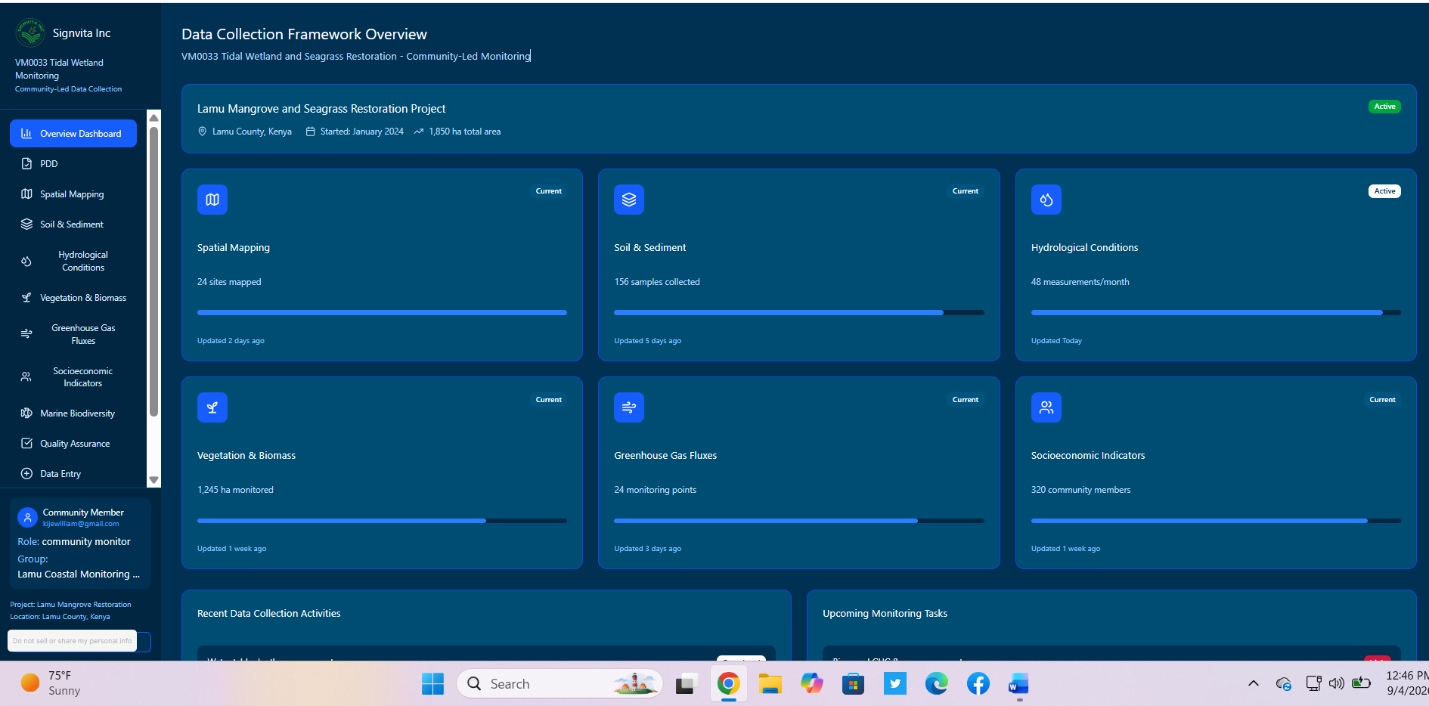
Blue Carbon / Mangrove Restoration

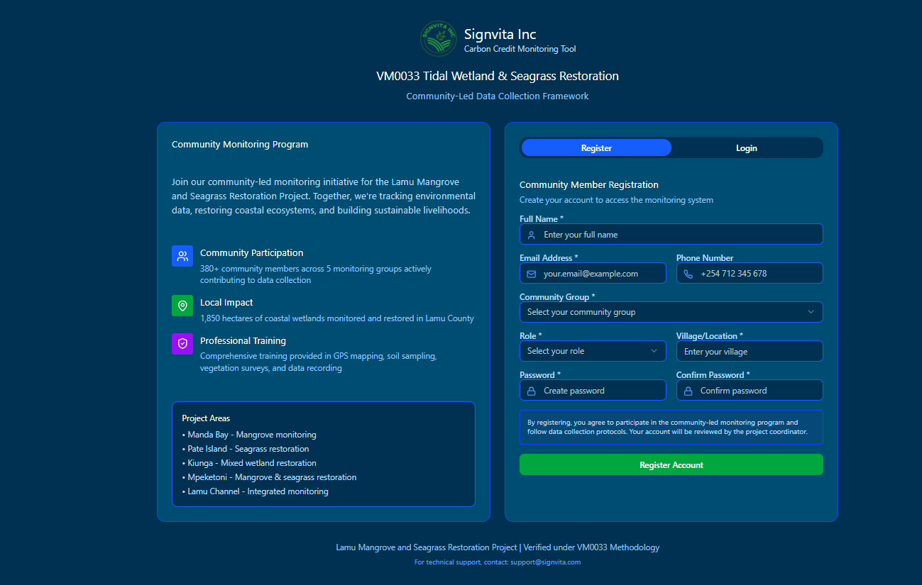
Manage blue carbon and mangrove restoration projects with GPS tidal-zone mapping, survival monitoring and biomass data aligned with VM0033.

Learn more
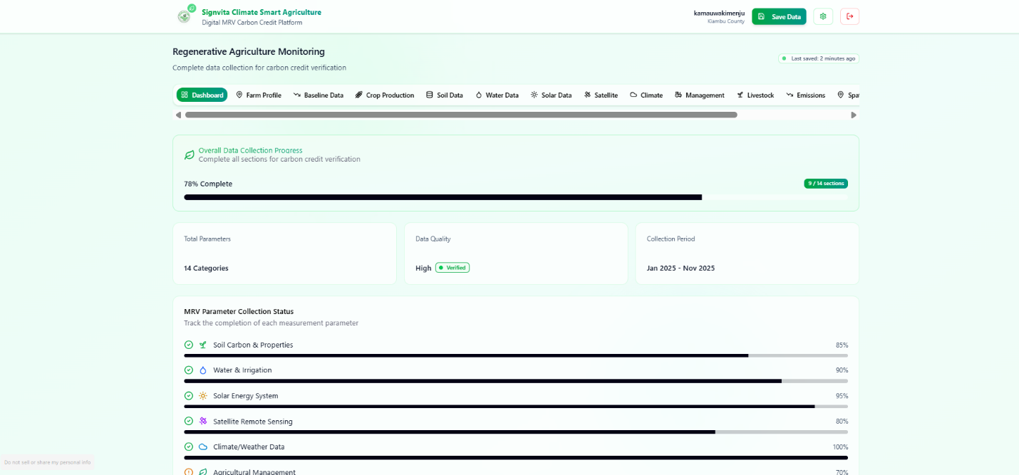
Afforestation, Reforestation & Revegetation

ARR programmes delivered with geotagged planting records, monitoring plots, survival tracking and satellite-verified, audit-ready evidence.

Learn more

Join Us in Empowering Africa's Small-Scale Producers

Signvita inc is dedicated to revolutionizing climate resilience by leveraging technology to empower small-scale producers in greenhouse gas emission reduction across Africa.